International Conference on Geographic Research and Innovation - (ICGRI-26)


16th - 17th November, 2026 | Zagreb, Croatia

Multi-format (In-person/Virtual)

Registration Options

Explore conference registration categories designed for every mode of participation.
Important Dates

Pre-registration Deadline

17th October, 2026

Paper Submission Deadline

22nd October, 2026

Last Date Of Registration

1st November, 2026

Date Of Conference

16th - 17th November, 2026

Downloads

Conference Session Tracks

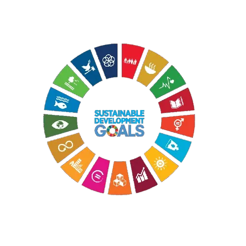
SDG Wheel

Aligned with

UN Sustainable Development Goals

This conference contributes to global sustainability by aligning its research discussions and academic sessions with key United Nations Sustainable Development Goals. It fosters knowledge exchange, innovation, and collaborative engagement.

SDG 4 SDG 4 — Quality Education
SDG 9 SDG 9 — Industry, Innovation and Infrastructure
SDG 10 SDG 10 — Reduced Inequalities
SDG 11 SDG 11 — Sustainable Cities and Communities
SDG 13 SDG 13 — Climate Action
SDG 15 SDG 15 — Life on Land
SDG 16 SDG 16 — Peace, Justice and Strong Institutions
SDG 17 SDG 17 — Partnerships for the Goals
Explore

All Session Tracks

Track 01
Innovative Approaches in Geographic Research

This track focuses on the latest methodologies and technologies that are reshaping geographic research. Participants will explore cutting-edge innovations that enhance spatial analysis and data interpretation.

Track 02
Mapping the Urban Landscape: Challenges and Solutions

This session will delve into the complexities of urban mapping and the spatial dynamics of urbanization. Discussions will highlight innovative solutions to urban challenges through advanced mapping techniques.

Track 03
Spatial Science in Policy Development

This track examines the role of spatial science in informing and shaping public policy. Participants will analyze case studies where geographic research has successfully influenced policy decisions.

Track 04
Technology-Driven Geographic Innovations

This session will showcase the impact of emerging technologies on geographic research and practice. Topics will include the use of GIS, remote sensing, and big data in enhancing geographic understanding.

Track 05
Societal Impacts of Geographic Research

This track investigates how geographic research influences societal structures and relationships. Presentations will focus on the intersection of geography with social issues and community development.

Track 06
Environmental Geography: Innovations and Challenges

This session addresses the innovative approaches to studying environmental geography and the challenges faced in this field. Discussions will cover topics such as climate change, conservation, and sustainable development.

Track 07
Geographic Methodologies: Bridging Theory and Practice

This track emphasizes the importance of rigorous methodologies in geographic research. Participants will share insights on best practices and innovative techniques that bridge theoretical frameworks with practical applications.

Track 08
Spatial Data and Society: Ethical Considerations

This session will explore the ethical implications of spatial data usage in society. Discussions will focus on privacy concerns, data ownership, and the responsibilities of researchers in handling geographic information.

Track 09
Urbanization and Its Geographic Implications

This track examines the processes and consequences of urbanization from a geographic perspective. Participants will discuss the spatial patterns of urban growth and their implications for society and the environment.

Track 10
Geographic Research in a Global Context

This session will highlight the importance of geographic research in understanding global issues. Participants will explore how geographic perspectives can inform international development and cooperation.

Track 11
Innovations in Spatial Mapping Technologies

This track focuses on the latest advancements in spatial mapping technologies and their applications in geographic research. Participants will discuss the implications of these innovations for data visualization and spatial analysis.